Log in
All resources
Create a design
613 Free Images of United States Map
maps in the library of congress
maps
university of washington
glaciers and glaciation (1910)
science
period
smithsonian libraries
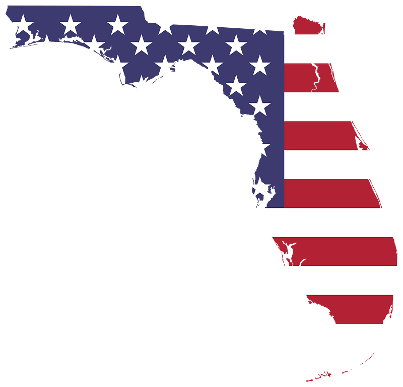
flag
usa
american flag
maps in the library of congress
1861 maps of the united states
maps
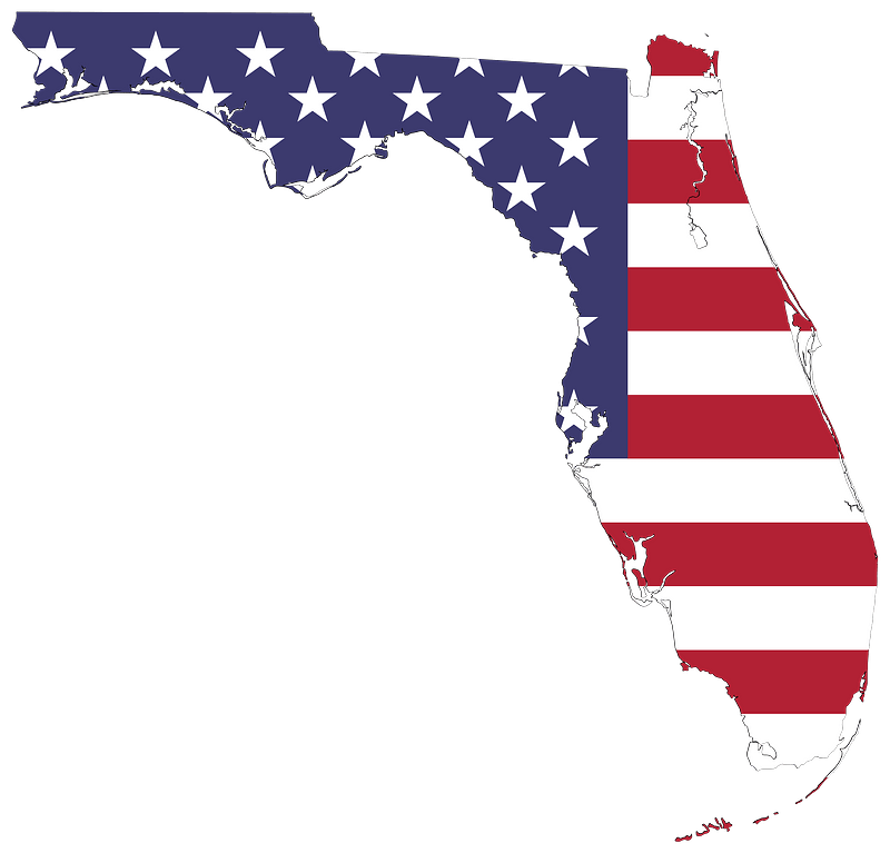
flag
maps
flag
maps
flag
old maps of georgia (u.s. state)
maps in the library of congress
bromley maps of manhattan published 1955–56
court square building
maps
flag
glaciers and glaciation (1910)
maps of glacier bay
maps in the library of congress
1877 maps of the united states
1810 maps of north america
1810 maps of mexico
1850s maps of the americas
maps by john tallis
albert levering
puck, 1910
1806 maps of the united states
maps by john cary
maps
flag
old maps of montana
julius bien
maps in the library of congress
1861 maps of the united states
old maps of georgia (u.s. state)
maps in the library of congress
new york state supreme court 60 centre street
columbus park (manhattan)
chicago and the midwest, newberry library
maps by rand mcnally
maps in the library of congress
1773 maps of the united states
potsdam conference on stamps
stamps of russia, 1995
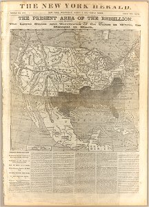
the loyal west in the times of the rebellion
1803 maps of the united states
bird's eye view maps of vermont
history of bennington, vermont
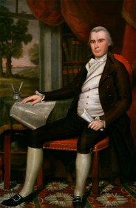
portrait paintings in the art institute of chicago
paintings by ralph earl
ross township, butler county, ohio
hill forts in the united states
old maps of st. augustine, florida
john white (colonist and artist)
maps of battles
1862 maps
glaciers and glaciation (1910)
maps of glaciers of alaska
charts and maps of the royal museums greenwich
1777 maps of new york (state)
glaciers and glaciation (1910)
maps of glaciers of alaska
maps
flag
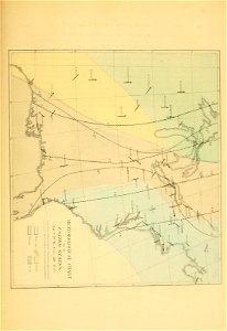
glaciers and glaciation (1910)
maps of yakutat bay
chicago and the midwest, newberry library
surveying in united states
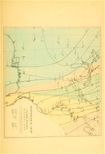
glaciers and glaciation (1910)
maps of glaciers of alaska
hudson river in the 19th century
steamboats of the united states
zehn karten und ansichten den schlachtfelden des amerikanischen unabhängigkeitskreiges in den staaten pennsylvanien und new york
maps in the library of congress
1869 advertisements
1869 in boston
history of yokohama
maps of yokohama
fine prints in the library of congress
aestheticism
1830 maps of the united states
maps by george w. boynton
chicago and the midwest, newberry library
maps by rand mcnally
portrait of george washington by giuseppe perovani
1790s maps of washington, d.c.
new york state supreme court 60 centre street
bromley maps of manhattan published 1921–23
new york state supreme court 60 centre street
bromley maps of manhattan published in 1925
new york state supreme court 60 centre street
bromley maps of manhattan published in 1927
travels in the interior of north america, during the years 1832–1834
works by maximilian zu wied-neuwied
glaciers and glaciation (1910)
maps of glaciers of alaska
maps in the library of congress
1838 maps
curt teich postcard archives
postcards of miami, oklahoma
maps of the indigenous peoples of north america
renaissance
the loyal west in the times of the rebellion
1865 maps of the united states
antoine-françois tardieu
pierre antoine tardieu
colonial history of the united states
old maps of new york (state)
1860s maps of georgia (u.s. state)
maps in the library of congress
multiple national flags on stamps
stamps of russia, 1995
glaciers and glaciation (1910)
maps of glaciers of alaska
curt teich postcard archives, curt teich & company
map postcards
maps in the library of congress
old maps of france
maps from the earth and its inhabitants, vol. xii
africa in the 1890s
maps in the library of congress
1852 maps
maps in the library of congress
1877 maps of the united states
final report of the northwest territory celebration commission
1938 maps of the united states
maps in the library of congress
1877 maps of the united states
genre paintings by albert anker
realism,impressionism
tours in the united states by famous american actors and actresses, 1865-1904
maps in the library of congress
tours in the united states by famous american actors and actresses, 1865-1904
maps in the library of congress
maps by louis brion de la tour
1786 maps of north america
historical map collection
maps by john cary
maps of the history of the united states
old maps of the british empire
commemorative stamps of the united states
1931 stamps of the united states
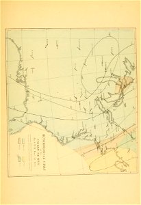
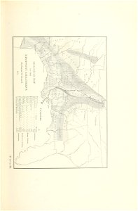
glaciers and glaciation (1910)
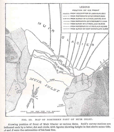
maps of muir glacier
travels in the interior of north america, during the years 1832–1834
1843 maps of the united states
the war between the united states and mexico illustrated
maps of the mexican-american war
1806 maps of the united states
maps by john cary
maps of the united states
barbizon school
backs of postcards in curt teich postcard archives
postcards of muncie, indiana
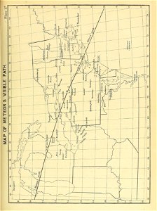
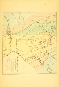
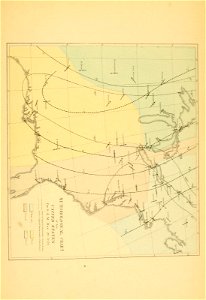
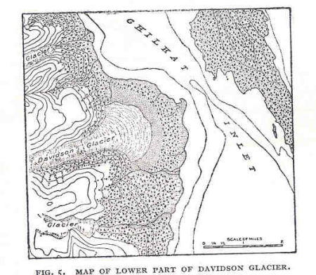
glaciers and glaciation (1910)
diagrams of glaciers
portrait paintings by john trumbull
romanticism
science
maps
science
maps
science
maps
science
maps
science
maps
science
maps
backs of postcards in curt teich postcard archives
everett d. graff collection of western americana
maps of the united states
science
maps
a flying trip to the tropics
1895 maps of south america
backs of postcards in curt teich postcard archives
postcards of churches in chicago
map postcards
sanson maps of the netherlands
1680s maps of the netherlands
birds-eye view of seattle, 1884
lithograph
maps in the library of congress
1877 maps of the united states
maps by thomas jefferys
maps by tomas lopez
cornell: persuasive cartography: the pj mode collection
slavery in the united states
albert levering
puck, 1910
the magazine of american history with notes and queries (1877)
john andré
parulidae of the united states
birds of new york (1910)
backs of postcards in curt teich postcard archives
postcards of oklahoma city
gabriel jacques de saint-aubin
battle of cape ecnomus
301 - 400 of 613
Next page
/ 7


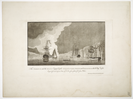


![[Ten maps and views of the battlefields of the American Revolutionary War in the states of Pennsylvania and New York], 1777](https://cdn.creazilla.com/illustrations/10001455242/ten-maps-and-views-of-the-battlefields-of-the-american-revolutionary-war-in-the-states-of-pennsylvania-and-new-york-1777-md.jpg)


![Plan of the circle battle between the U.S. ship "Keasarge," Capt. Winslow, and the Confederate cruiser "Alabama," Capt. Raphael Semmes, off the harbor [of] Cherbourg, France: forenoon of Sunday June 19th 1864., 19 June 1864](https://cdn.creazilla.com/illustrations/10000851176/plan-of-the-circle-battle-between-the-us-ship-keasarge-capt-winslow-and-the-confederate-cruiser-alabama-capt-raphael-semmes-off-the-harbor-of-cherbourg-france-forenoon-of-sunday-june-19th-1864-19-june-1864-sm.webp)


![[Tours in the United States by famous American actors and actresses, 1865-1904]., Joseph Jefferson, 1935](https://cdn.creazilla.com/illustrations/10000909370/tours-in-the-united-states-by-famous-american-actors-and-actresses-1865-1904-joseph-jefferson-1935-md.jpg)
![[Tours in the United States by famous American actors and actresses, 1865-1904]., Joseph Jefferson, 1935](https://cdn.creazilla.com/illustrations/10001594868/tours-in-the-united-states-by-famous-american-actors-and-actresses-1865-1904-joseph-jefferson-1935-md.jpg)